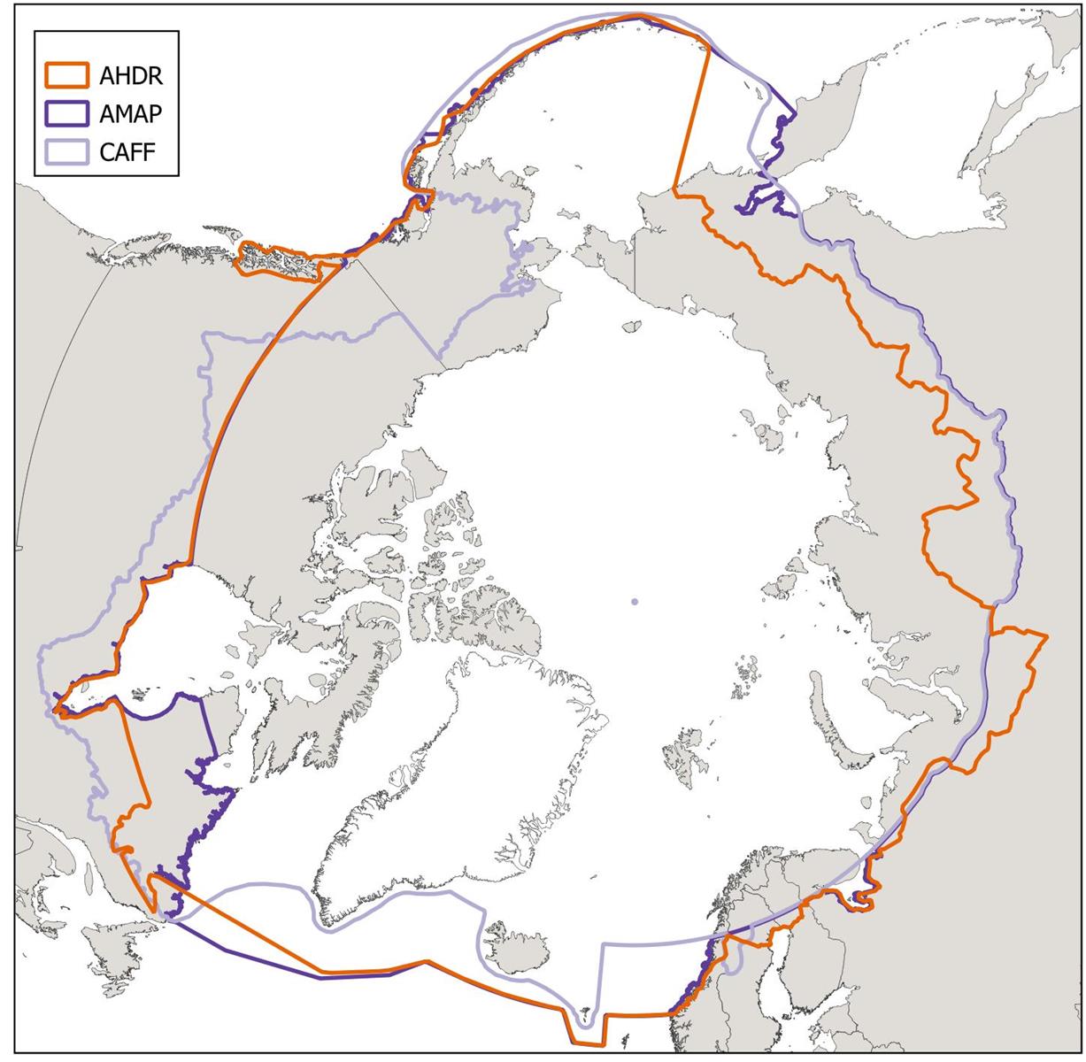
- Map: Arto Vitikka, Arctic Centre, University of Lapland.
- AHDR: Arctic Human Development Report, four million people live inside this border.
- AMAP: Arctic Monitoring and Assessment Programme.
- CAFF: Conservation of Arctic Flora and Fauna
- Border data: Runfola, D. et al. (2020) geoBoundaries: A global database of political administrative boundaries. PLoS ONE 15(4): e0231866. https://doi.org/10.1371/journal.pone.0231866e.
- Map created with QGIS.
The map can be freely used, provided the credits are mentioned.