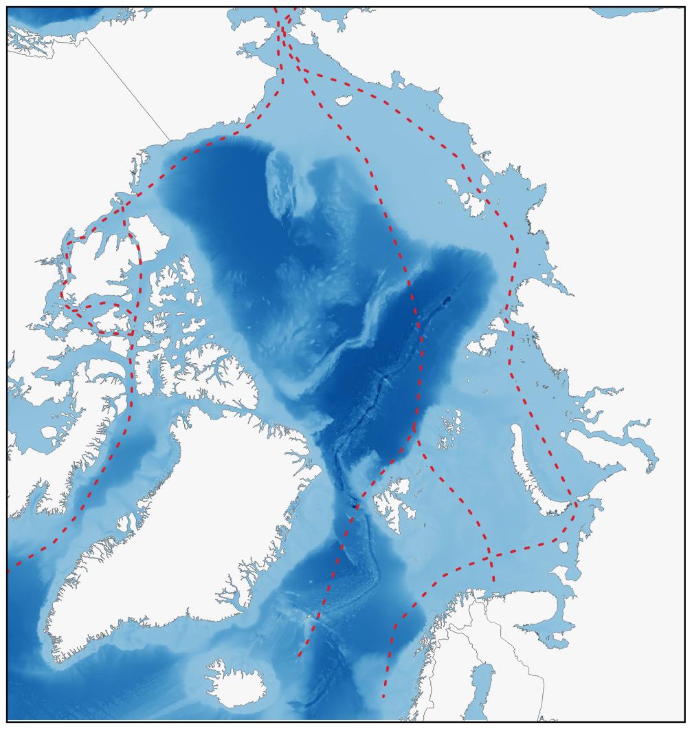
Bathymetric map of the Arctic Ocean with sea ice extent (2023) and arctic sea ways.
Map: Arto Vitikka, Arctic Centre, University of Lapland. You may use the map freely provided that the source is mentioned.
Data sources: The International Bathymetric Chart of the Arctic Ocean (IBCAO), National Snow and Ice Data Center.
Map is done with QGIS software.